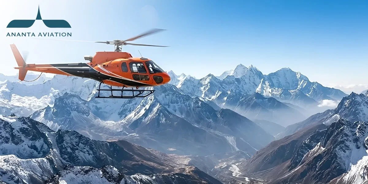
Char Dham From the Air: The Peaks and Valleys You’ll See on Each Leg
Each flight on the four-shrine helicopter circuit shows you a different part of the Garhwal Himalaya. This guide goes leg by leg. It names the main peaks, the river valleys below, and what can change the view on the day. If you are planning a Chardham Yatra by helicopter it helps to know what lies outside the window. You will know where to look. You will also know which sights need clear weather.
How Is the Air Circuit Laid Out
Many itineraries follow a similar broad circuit that starts and ends in Dehradun. On a Chardham Yatra by helicopter, the order usually runs from Yamunotri to Gangotri, then Kedarnath and Badrinath. The exact sequence, helipads, and flight paths can still change with operator plans, weather, and air traffic instructions.
- Five flying sectors: A common loop is Dehradun to Kharsali, Kharsali to Harsil, Harsil to the Kedarnath sector, Kedarnath to Badrinath, and Badrinath back to Dehradun.
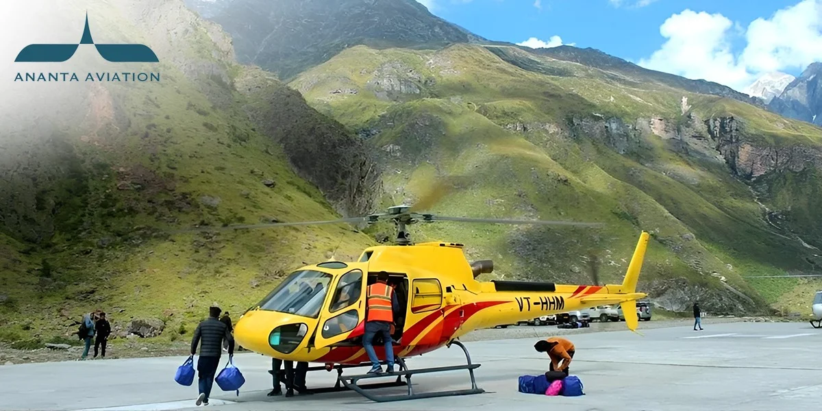
- A base for Kedarnath: In 2026, Kedarnath helicopter services ran from Guptkashi, Phata and Sirsi, also called Sersi. A shuttle covers the final short climb.
- Daylight flying only: For 2026, officials said flights would run only between sunrise and sunset. They are not allowed when the weather turns bad suddenly.
- Tracked in real time: Every helicopter on the 2026 Char Dham circuit carried a tracking device, monitored centrally throughout its flight, according to the Ministry of Civil Aviation.
So treat the views below as typical, not fixed. Because sectors, helipads and ground transfers can shift, confirm the exact sequence for your dates with the Fly With Ananta team before departure.
The Peaks and Valleys on Each Leg
Here is what each flight usually shows you, from the first climb out of Dehradun to the last descent home.
Leg 1: Dehradun to Kharsali (Yamunotri)
This short opening flight takes you from the Doon valley into the Yamuna side of the range.
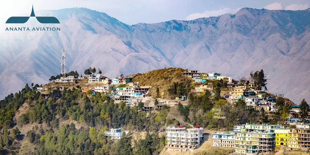
- The first ridge: Depending on the route, the helicopter climbs over the Mussoorie hills soon after take-off from Sahastradhara. On clear mornings, the hill town is easy to spot.
- Bandarpunch on clear days: On a clear morning, this snowy massif of about 6,315 metres may appear ahead. Dehradun’s Doon School teams attempted it from the late 1930s, an early chapter of Indian mountaineering.
- Landing at Kharsali: The Yamunotri temple sits at 3,293 metres. Even after landing, you still face a 6 km trek from nearby Janki Chatti.
Keep your camera ready early. This leg is short, and the best views come fast.
Leg 2: Kharsali to Harsil (Gangotri)
This hop links two of the great river valleys of Garhwal.
- Between two river valleys: Depending on the route, the flight may pass over high ground between the Yamuna and Bhagirathi valleys. Below, you may see forests and open alpine meadows called bugyals.
- Gangotri group in view: On clear days, the Gangotri group of peaks can show up on the horizon. Its highest summit, Chaukhamba I, reaches 7,138 metres.
- Down into Harsil: The helicopter lands in Harsil, a quiet valley on the Bhagirathi known for deodar forests and apple orchards. Gangotri temple is then reached by road.
On a Char Dham by helicopter trip, this hop is short. Watch the ridgeline from the moment you lift off.
Leg 3: Harsil to the Kedarnath Sector
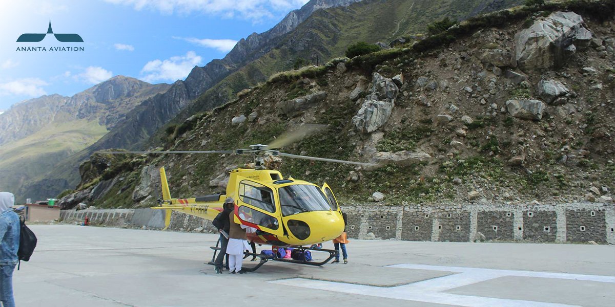
From Harsil, the helicopter typically heads towards the Kedarnath sector. Sersi or another authorised helipad then serves as the base for the onward shuttle, depending on the operator and conditions on the day.
- Into the Mandakini side: The route heads east toward the Mandakini valley. Look for river bends and terraced villages before landing at the base helipad.
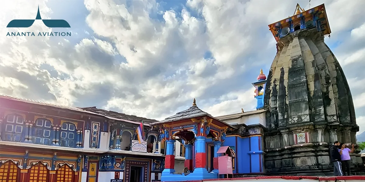
- Shrine at 3,584 metres: Kedarnath stands among snow peaks on the banks of the Mandakini. The shuttle climb from the base is short but steep.
- A busy sky: In the first phase of 2026 alone, over 12,000 shuttle departures carried more than 67,000 pilgrims, with about 400 movements a day across the Char Dham sector.
Expect short waits at the base helipad. Shuttle slots and weather decide when you go up.
Leg 4: The Kedarnath Sector to Badrinath
This flight crosses some of the tallest ground on the whole circuit.
- Chaukhamba on the horizon: Depending on the route and visibility, this massif may dominate the view. Its four summits sit along one long ridge, west of Badrinath.
- One mountain, two rivers: Chaukhamba stands at the head of the Gangotri Glacier, which feeds the Bhagirathi. The Satopanth Glacier, source of the Alaknanda, also starts from its slopes.
- Badrinath below: The temple sits at 3,133 metres between the Nar and Narayan ranges. The Alaknanda flows beside it, and Neelkanth peak rises behind.
If the sky is clear, this can be the most striking leg of the loop. Keep your phone charged and ready.
Leg 5: Badrinath to Dehradun
The last flight takes you from the high shrines back to the foothills.
- Leaving the high peaks: The return flight drops from the snow line into greener, lower hills. The Alaknanda valley slowly falls away behind you.
- The longest leg: This is usually the longest flight of the circuit. Use it to rest, drink water, and note down what you saw on each leg.
Landing at Dehradun closes the loop where it first began.
Getting a Better View From Your Seat
A few simple steps help you see more and worry less.
- Seats follow weight: Seating is planned around weight balance, so a window seat cannot always be promised. The Fly With Ananta team can explain how seating works on your aircraft.
- Weight, load and temperature: Passenger and baggage weight, total aircraft load and air temperature all affect what a helicopter can carry at altitude. Pilots plan seating and luggage around these limits.
- Mornings tend to be clearer: Mountain cloud often builds as the day warms up. Early slots usually give cleaner views, though weather holds can still happen in any month.
- Plan buffer time: A good Char Dham helicopter package leaves spare time for weather holds. Check what yours includes, such as shuttles, stays, and darshan support.
- Altitude still matters: Flying does not remove altitude effects. Kedarnath sits above 3,500 metres, so speak to a doctor before travel if you have health concerns.
Safety comes before scenery on every leg. As Civil Aviation Minister K Rammohan Naidu said of the 2026 yatra, for pilgrims “safety becomes completely non-negotiable.”
Reading the Mountains, One Leg at a Time
Each flight tells a different part of the same story. You start near Bandarpunch and the Yamuna. You cross into the Bhagirathi valley, then the Mandakini. You end beside the Alaknanda, with Chaukhamba and Neelkanth on the skyline when the weather allows. A Chardham Yatra by helicopter shows you how these rivers and peaks connect, something a road journey rarely reveals. Clouds may hide a summit or two, and that is part of flying in the Himalaya. The best trips are planned around that reality, with honest timings, spare days and clear ground transfers. If you would like help shaping a route like this, the Fly With Ananta team can walk you through sectors, buffers and what to expect at each helipad.
FAQs
1. Will I definitely see snow peaks on every leg?
No. Views depend on cloud, haze, and the route your pilot is cleared to fly. Early morning slots tend to be clearer. On cloudy days, you may see valleys and forests rather than high summits, and that is quite normal.
2. Can I choose a window seat for photos?
Not always. Helicopter seats are assigned by passenger weight to keep the aircraft balanced. You can share your preference when booking. Most cabins have large windows, so many seats still offer a good view of the passing peaks and valleys.
3. What happens if bad weather stops a flight?
The flight waits until the pilot and authorities clear it. Holds can last minutes or hours. In 2026, flying is allowed only in daylight. Keep a spare day in your plan, and also ask how delays change your hotel nights.
4. Which leg has the best mountain views?
The Kedarnath sector to Badrinath leg is a strong contender, because Chaukhamba, at 7,138 metres, may appear when visibility allows. The first leg can also show Bandarpunch on clear days. Every leg has its own scenery, from meadows to river gorges.
5. Do I need to worry about altitude if I fly?
Yes, you should plan for it. Flying gets you up fast, but your body still needs time to adjust. Kedarnath sits at 3,584 metres. Drink water, move slowly, and consult a doctor before travel if you have any health conditions.
Blog